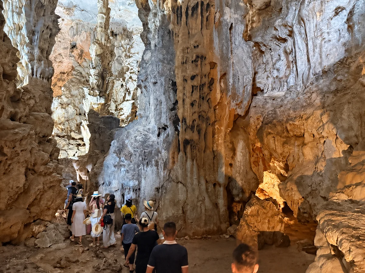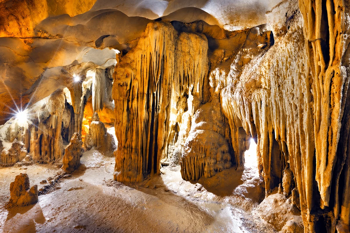
What is the difference between tùng and áng in Hạ Long?
Understand how limestone-island waters connect to the sea, and distinguish landscape descriptions from permission to enter.
How do tùng and áng differ?
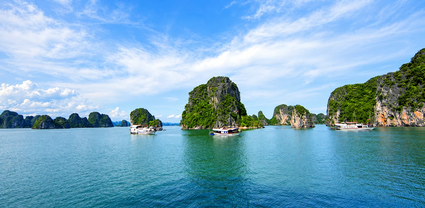
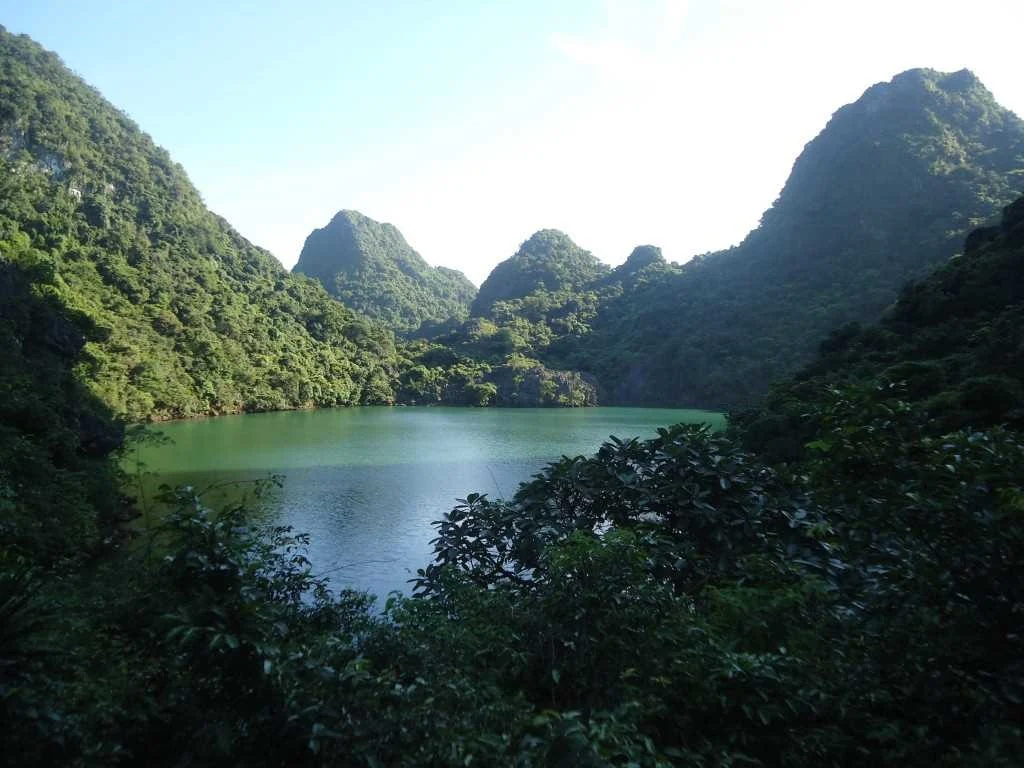
Among Hạ Long's limestone islands, water almost enclosed by mountains can look like a lake. The local terms tùng and áng help explain it: a key difference is how the water connects to the sea.
According to the Hạ Long Bay portal, a tùng is a limestone valley flooded by seawater with a direct opening to the sea. An áng is a lake-like feature within a limestone island, where water may exchange with the sea through underground caves or small fissures. Do not assume that an enclosed-looking waterbody is freshwater.
As a memory aid, a tùng generally has an open sea “door”, while an áng is more enclosed and its connection may be hidden beneath rock. This is a conceptual aid, not a reliable identification method from one photograph.
Why pay attention to these small waters?
Cliffs, vegetation and water sit close together, adding more to a bay visit than island shapes. The management authority's ecosystem introduction describes relatively isolated conditions creating distinctive habitats.
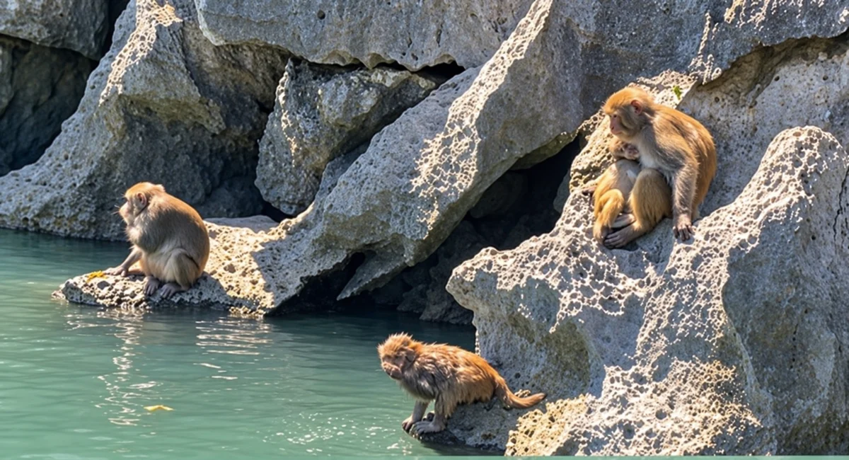
These are habitats to protect, not just blue water for photographs. Water colour alone does not establish cleanliness, permission to swim or the presence of a particular animal.
Cống Đỏ is an example, not unrestricted access
The portal's VHL4 itinerary page introduces the Tùng–Áng Cống Đỏ ecological area, a useful example for asking a guide about limestone-island landscapes and wildlife.
However, the same page states that infrastructure is undergoing investment and improvement. When checked on 24 October 2026, there was no basis here to confirm direct access to every áng or kayaking there. A destination listed in a route introduction does not replace a sailing's actual programme.
Ask whether your cruise passes Cống Đỏ or makes a permitted stop, and which activities actually operate. Request answers for your date rather than relying on promotional imagery.
Three questions for a more interesting bay visit
- In which direction does this water connect to the sea? If no opening is visible, ask a guide rather than concluding it is an áng.
- How does vegetation at the water's edge differ from vegetation on the cliffs? Observe from permitted places without picking plants or collecting samples.
- Which places can we visit today, and which are only being introduced for context?
One question about the connection to the sea can add a story to your outing. Keep to the route, take rubbish away and do not seek your own passages through caves or climb cliffs.
The cover shows the Cống Đỏ area, sourced from halongbay.com.vn and AI-edited with ChatGPT Images for clarity and tonal balance. It does not show conditions on 24 October 2026 or specifically depict the interior of an áng.
Sources
Sources checked on 24 October 2026. This article explains landscapes; it is not an opening announcement or an operator's service commitment.
Image credit: Cover: Cống Đỏ area, halongbay.com.vn; AI-edited with ChatGPT Images for clarity and tonal balance, not conditions on 24 October 2026. In-article tùng–áng photo: halongbay.com.vn, original content retained, WebP compression only; the source does not name a specific áng.